● SECTION 01 — VISUAL STUDY
Monroe Avenue looking east
Cafe 25:35
A continuous public realm strengthens the walk between storefronts while retaining the street’s established character.
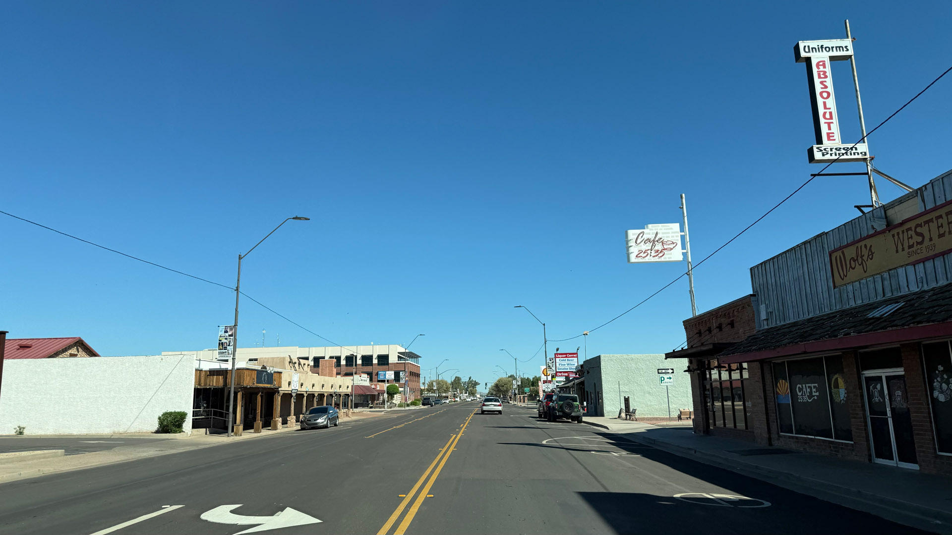
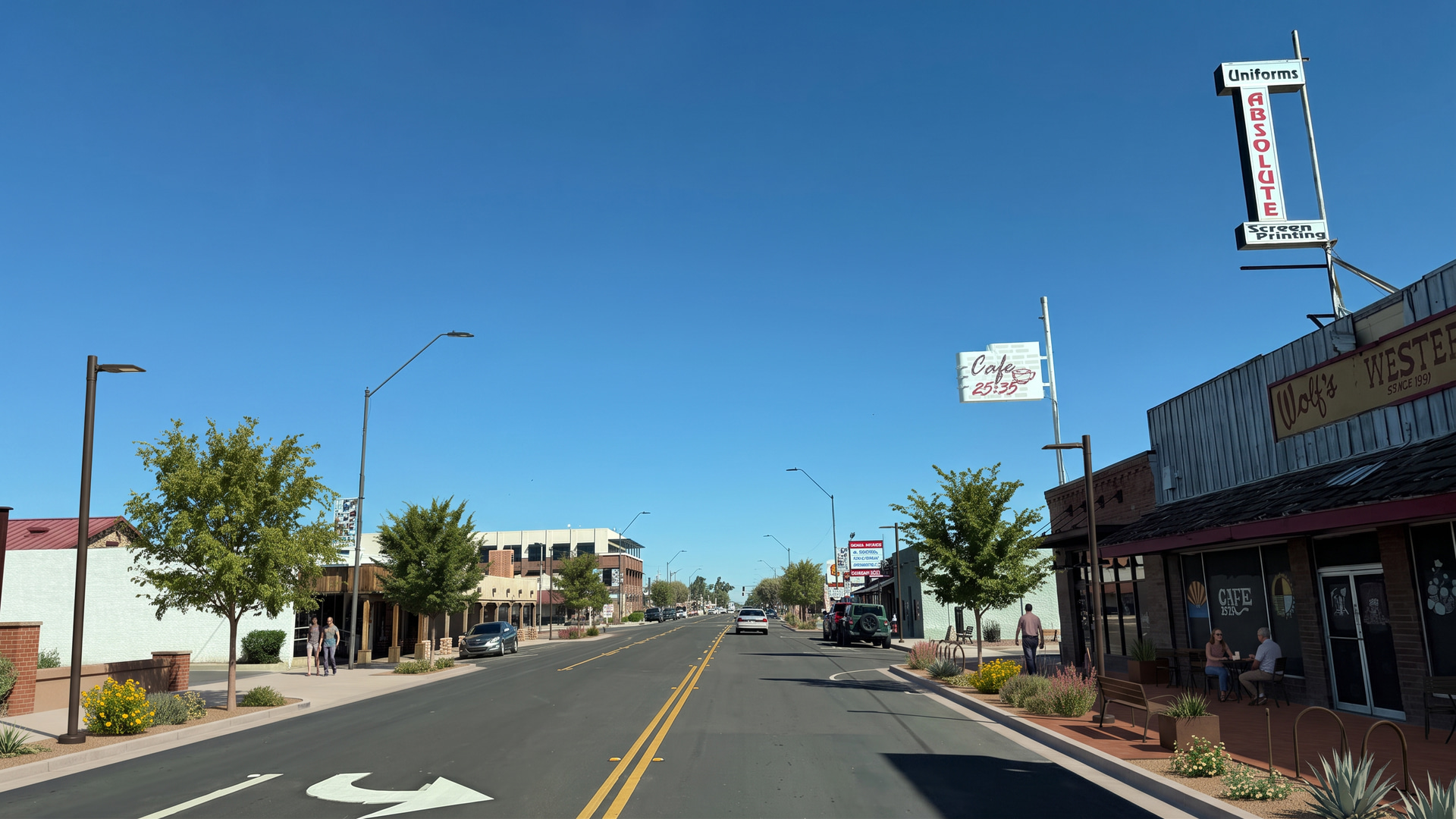
Existing
Design intent
Each view pairs an existing condition with a design intent rendering. Select the orange markers to connect visible changes directly to the adopted plan.
Monroe Avenue looking east
A continuous public realm strengthens the walk between storefronts while retaining the street’s established character.
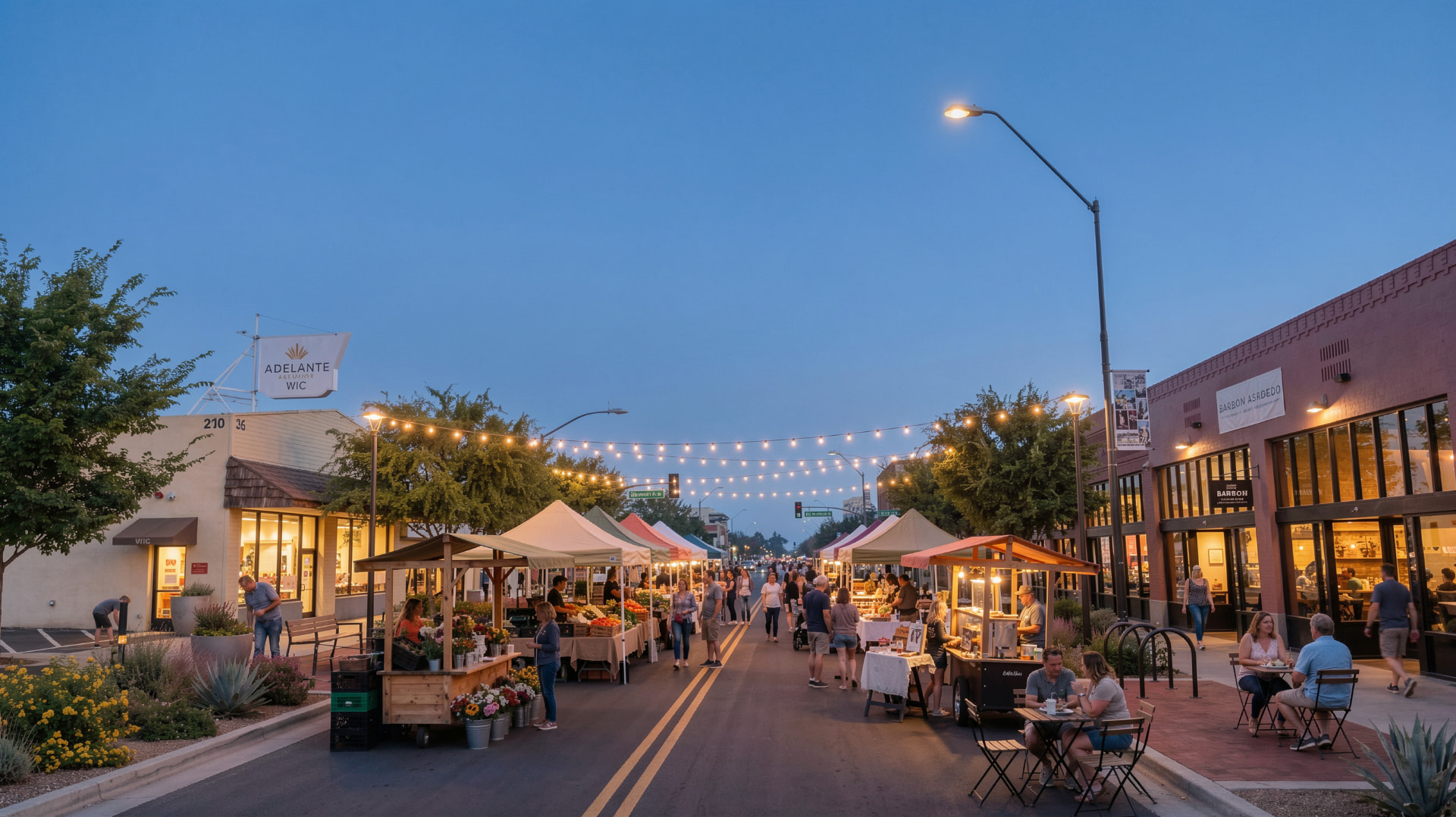
Monroe Avenue at 4th Street
A greener, more active Main Street connects civic services, local businesses, and everyday downtown life.
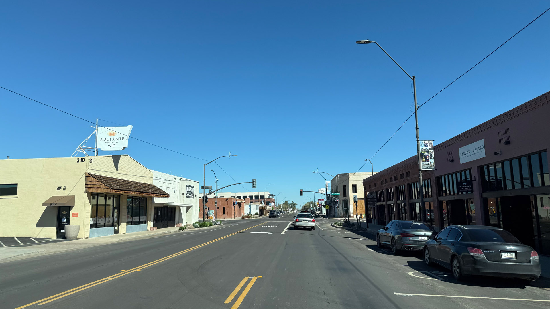
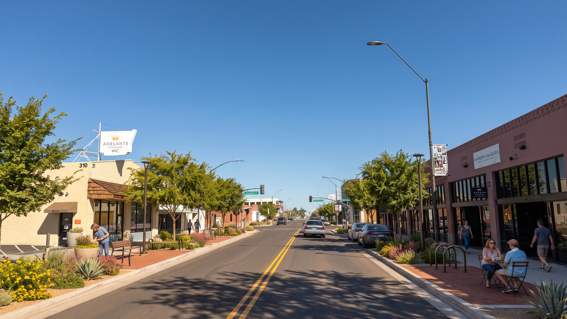
Monroe Avenue looking west
A coordinated streetscape gives the corridor a safer pedestrian edge, more shade and planting, and a clearer connection to downtown storefronts.
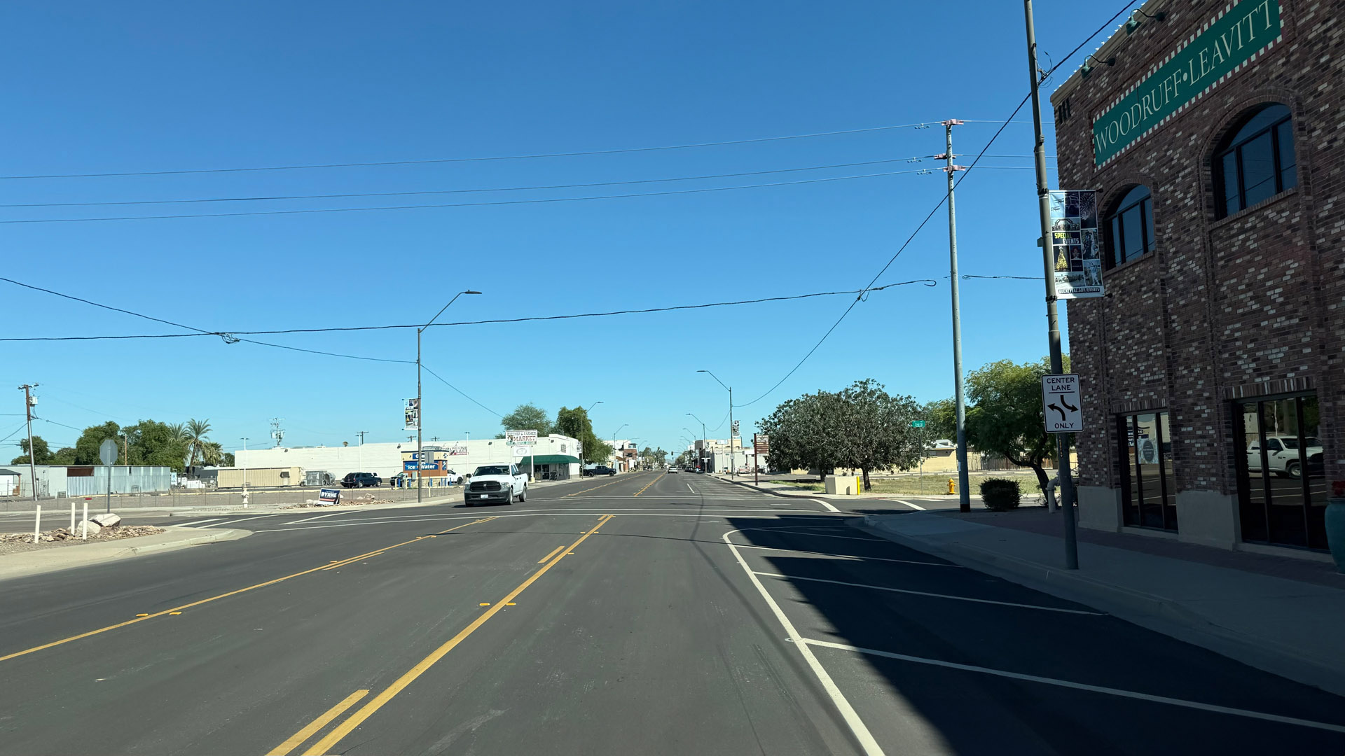
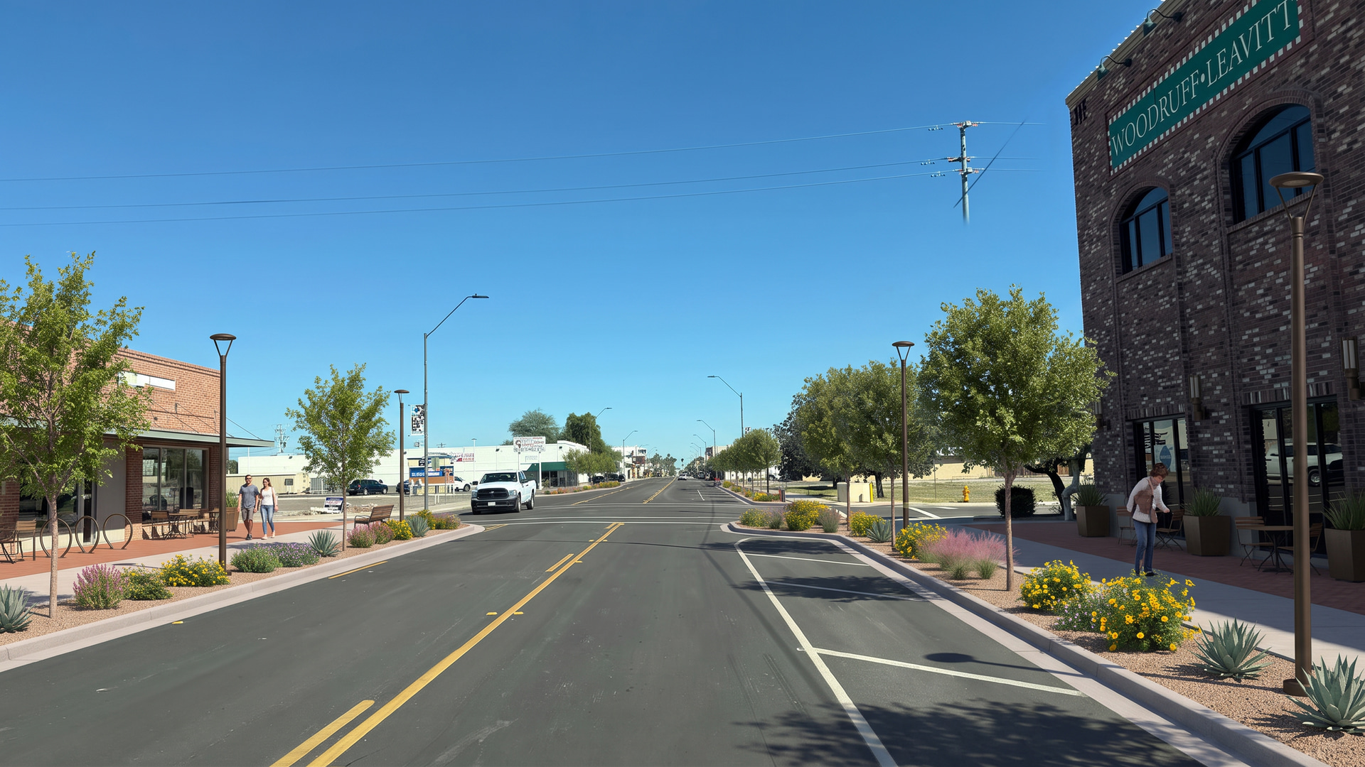
Explore the downtown study area. Building-level before-and-after visualizations connect proposed improvements to their location.
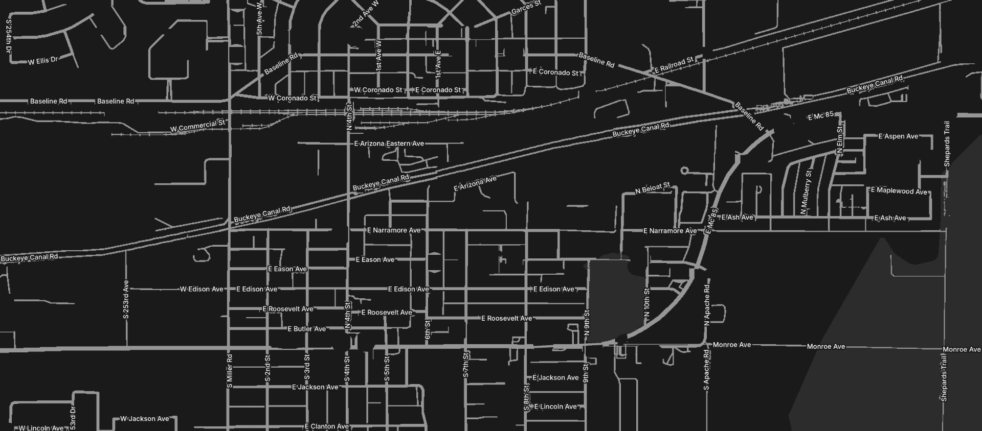
Referenced strategies from the City of Buckeye Downtown Specific Area Plan, approved October 3, 2023.
Align street improvements with recommended corridor types and streetscape enhancements.
Advance sidewalks, wayfinding, crossings, accessibility, bollards, striping, and shade infrastructure.
Implement and underground electric infrastructure.
Add shade structures, patio seating, parklets, benches, water fountains, and trees.
Provide attractive public lighting in public spaces.
Improve and widen existing pedestrian infrastructure.
Improve pedestrian safety features and street lighting.
Add pedestrian comfort and aesthetic enhancements through streetscape projects.